Skip to content
Search
things change
Mike’s blog – for his amusement
Home
Home (alternative)
Show posts sequentially
Book stuff
Books I’ve read
Authors I like
Book links
The Book Guide
The Book Guide (FB)
Links page
My stuff
My walks
My Computer posts
My Chess Page
My films
My images
Daily images
Scarborough, North Yorkshire
Germany
Lisbon
Austria
My other blog
My other blog (Southampton prefabs)
Subscribe
Contact me
About me
IT stuff
My Computer posts
WordPress stuff
Query Loop block
Shortcodes
Forums
Unblogged stuff
Stuff that didn’t get a blog post
Subscribe
Surrey walks
Thursday, May 21, 2026
Leatherhead to Dorking
MikeB
Friday, Apr 17, 2026
Guildford -> Godalming
MikeB
Thursday, Mar 5, 2026
I’ve done this walk before
MikeB
Wednesday, Dec 3, 2025
Hatchlands Park
MikeB
Tuesday, Nov 25, 2025
Guildford to Farncombe
MikeB
Thursday, Nov 13, 2025
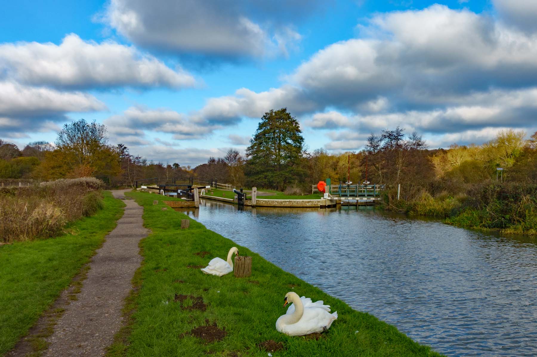
Leatherhead to Westhumble
MikeB
Monday, Nov 3, 2025
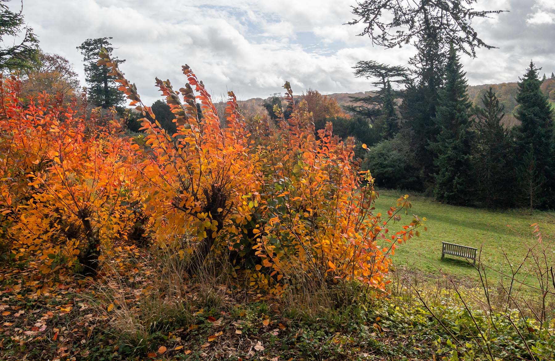
Polesden Lacey leaves
MikeB
Monday, Aug 18, 2025
Dorking to Reigate
MikeB
Thursday, Jul 10, 2025
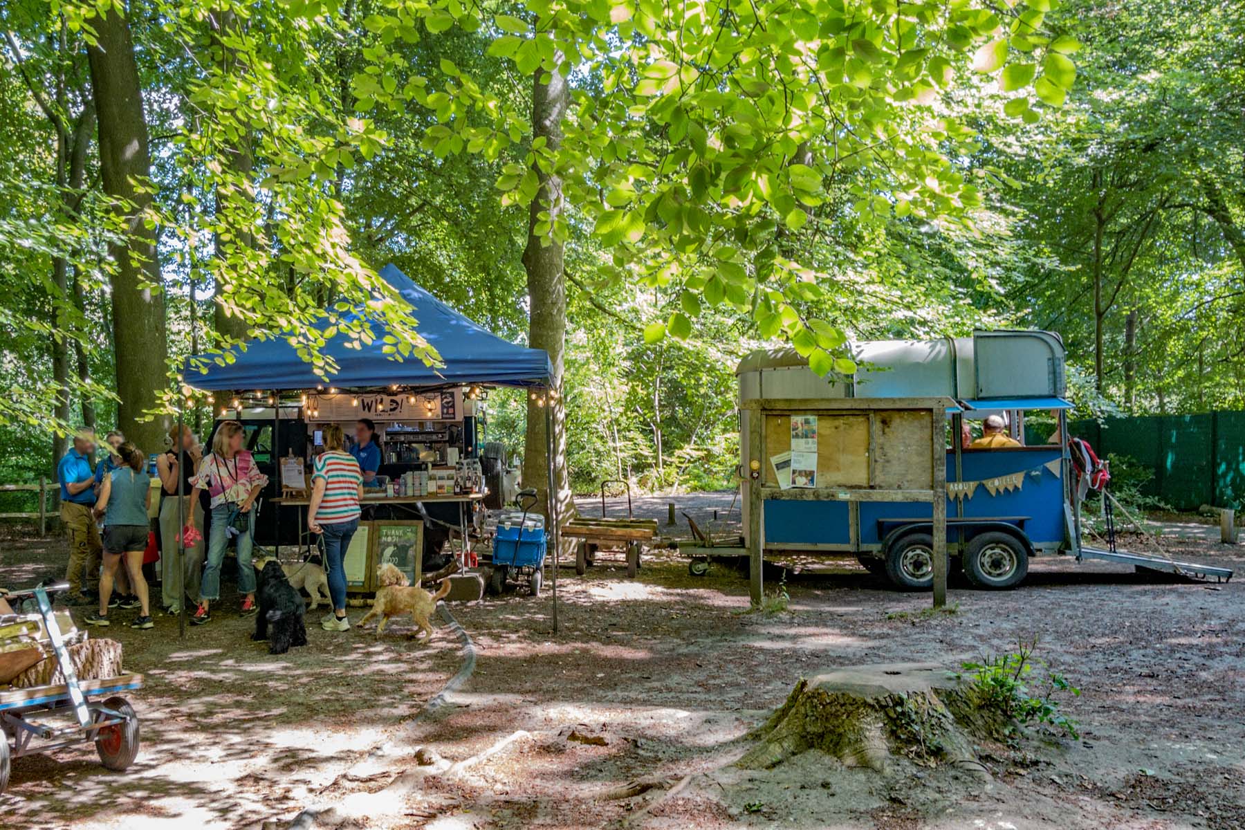
A café in the woods
MikeB
Friday, Jun 27, 2025
Westhumble to Leatherhead (again)
MikeB
Monday, Jun 2, 2025
Skimmington Castle to Reigate
MikeB
Thursday, Mar 20, 2025
A walk to Leatherhead
MikeB
1
2
3
…
7
Next Page
Loading Comments...
Write a Comment...
Email
Name
Website