Skip to content
Search
things change
Mike’s blog – for his amusement
Home
Home (alternative)
Show posts sequentially
Book stuff
Books I’ve read
Authors I like
Book links
The Book Guide
The Book Guide (FB)
Links page
My stuff
My walks
My Computer posts
My Chess Page
My films
My images
Daily images
Scarborough, North Yorkshire
Germany
Lisbon
Austria
My other blog
My other blog (Southampton prefabs)
Subscribe
Contact me
About me
IT stuff
My Computer posts
WordPress stuff
Query Loop block
Shortcodes
Forums
Unblogged stuff
Stuff that didn’t get a blog post
Subscribe
Walks
Friday, Jul 3, 2026
A visit to Derbyshire
MikeB
Monday, May 11, 2026
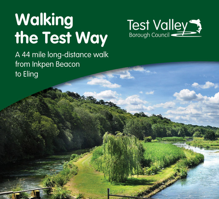
Test Way (my new 40+ mile walk)
MikeB
Thursday, Apr 30, 2026
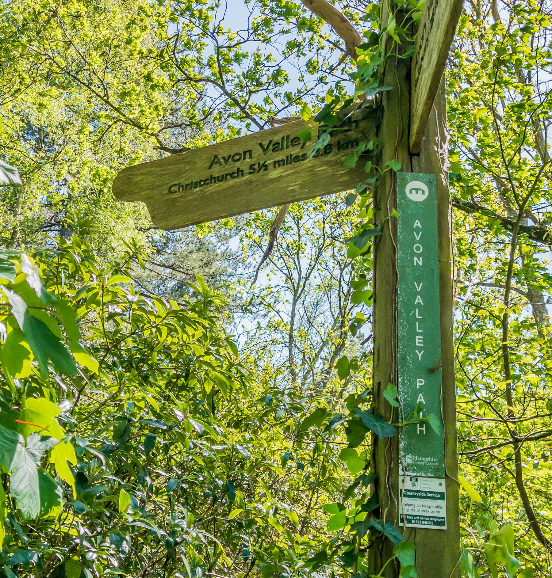
Avon Valley Path (Ringwood to Christchurch)
MikeB
Friday, Apr 24, 2026
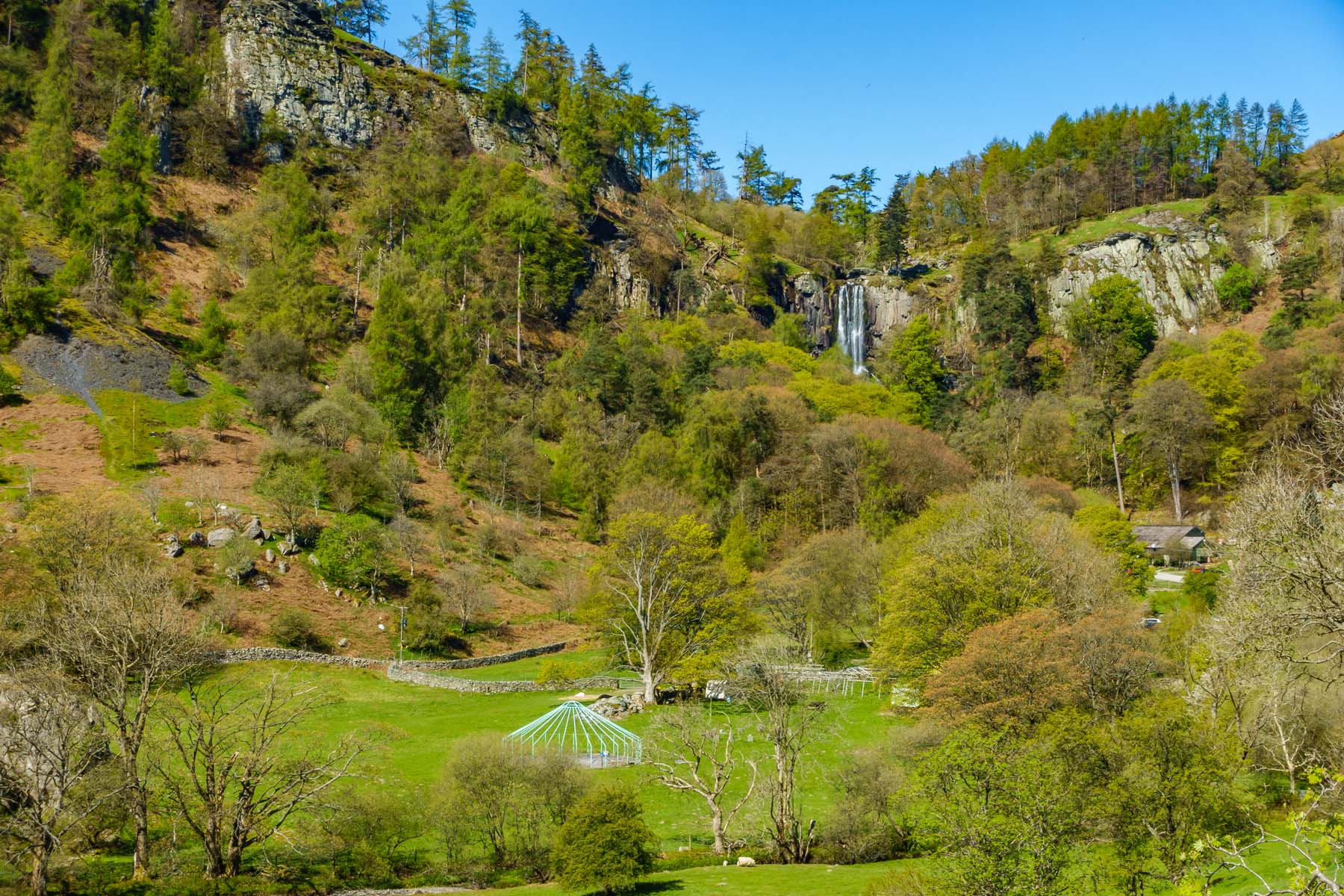
A trip to Llanrhaeadr
MikeB
Friday, Apr 17, 2026
Guildford -> Godalming
MikeB
Thursday, Mar 19, 2026
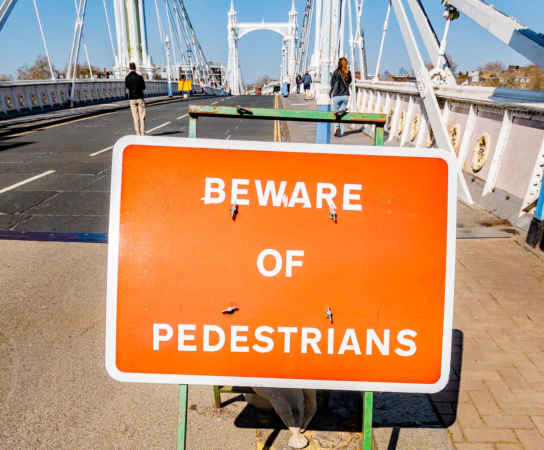
Battersea Park, London
MikeB
Wednesday, Mar 18, 2026
Knole Park, Kent
MikeB
Thursday, Mar 5, 2026
I’ve done this walk before
MikeB
Wednesday, Feb 25, 2026
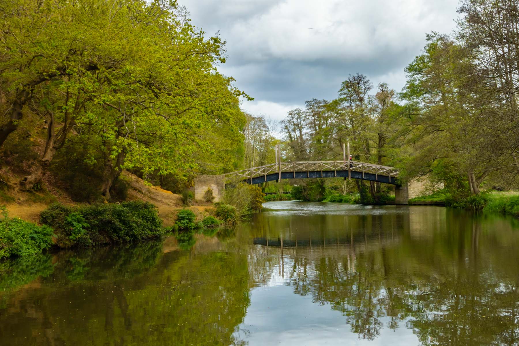
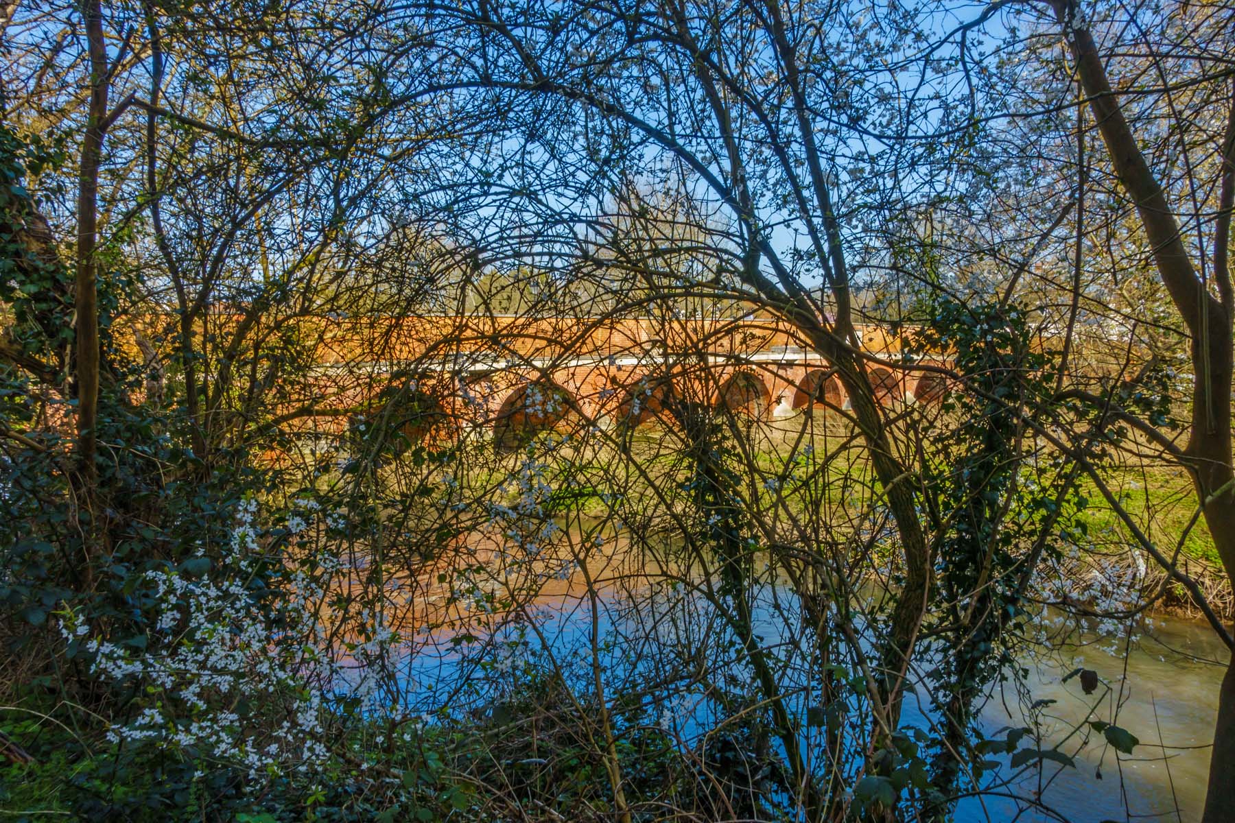
Wakehurst Place, Sussex
MikeB
Tuesday, Dec 23, 2025
Found on a walk to Banstead
MikeB
Friday, Dec 19, 2025
Walk to Banstead
MikeB
Wednesday, Dec 3, 2025
Hatchlands Park
MikeB
1
2
3
…
11
Next Page
Loading Comments...
Write a Comment...
Email
Name
Website